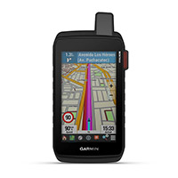
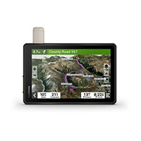
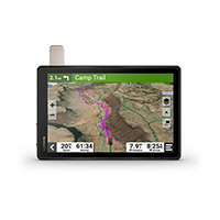
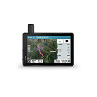
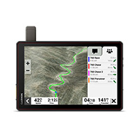
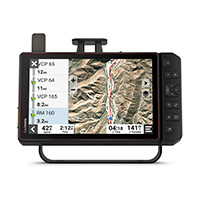
Rugged touchscreen GPS navigator.
EXPLORE THE WORLD WITH THE SECURITY OF A RELIABLE DEVICE
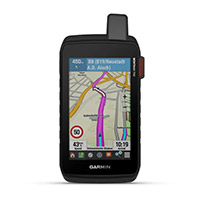
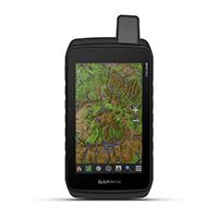
With preloaded road and trail maps, the Montana 700 portable navigator offers advanced, dedicated outdoor features in a rugged 5” device, ideal for walking, cycling, motorcycle, ATV and more.
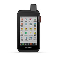
The best of navigation at your fingertips thanks to a large touchscreen.
Preloaded TopoActive Europe maps. Now you are free to choose road or off-road routes.
MIL-STD 810 compliant to withstand extreme temperatures, shock, water and vibration.
BirdsEye satellite images downloadable directly to your device.
Explore without fear thanks to ABC sensors and multi-GNSS network.
Live your adventures thanks to the lithium-ion battery with a duration of more than 18 in GPS mode.
Track your adventures on any road or trail.
DESIGN CONCEIVED FOR EVERY ENVIRONMENT
This rugged, waterproof device was tested to military standards and features a glove-friendly 5” touchscreen that's 50% larger than previous Montana models.
TOPOACTIVE EUROPE MAPS
For your adventures, use the preloaded TopoActive Europe maps. View elevations, coastlines, rivers, and more.
BIRDSEYE IMAGES
Direct-to-device download of Birdseye Satellite Imagery (no annual subscription required) allows you to view photo-realistic views and create waypoints based on landmarks.
SENSORS ABC
Navigate your next trail with ABC sensors, including an altimeter for elevation data, a barometer for weather monitoring, and a 3-axis electronic compass.
ACTIVE WEATHER
Connecting via cellular1 gives you access to up-to-date weather forecasts through the Garmin Connect app.
DOG TRACKING
For hunters and trainers, Montana allows you to synchronize with the portable devices of the Astro® or Alpha® series (sold separately) to follow the path and track the dogs.
WIKILOC ROUTES
The useful Wikiloc app makes it easy for you to download hiking and cycling routes shared by other outdoor enthusiasts like you. Get a free 60-day trial of Wikiloc Premium to use this and other exclusive features. Find out more.
For excursions. For hunting. For off road.
MULTI-GNSS SUPPORT
Access to GPS, GLONASS and GALILEO satellite networks allows Montana® 700 to acquire position in more remote areas than using GPS alone.
LOCATION SHARING
The LiveTrack feature allows you to wirelessly connect1 your device with other compatible Garmin GPS devices, so you can follow the roads, routes, waypoints and every adventure.
EXPEDITION MODE
Use Expedition Mode to extend Montana's battery life for a week or more. In this mode, the screen turns off, the device goes into energy saving but continues to collect GPS track points, albeit in a reduced number.
BATTERY OPTIONS
Internal rechargeable Li-ion battery provides more than 18 hours of run time in GPS mode. The device can also be powered by AA batteries.
COMPATIBLE SUPPORTS
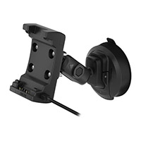
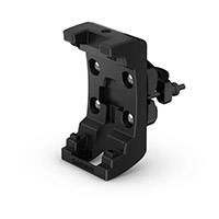
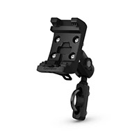
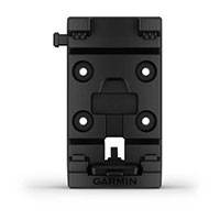
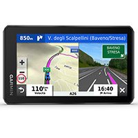
A variety of Montana Handheld Device-compatible mounts (sold separately) allow you to adapt your navigator for use on a motorcycle, ATV, boat, automobile, RV, or other vehicle.
In the box:
Montana® 700
Li-ion battery
USB cable
Documentation
Maps of 46 European countries already preloaded, maps of other continents must be purchased separately.


